
GIS ShapeFile of Spanish and Mexican Land ...
来自数据集摘要
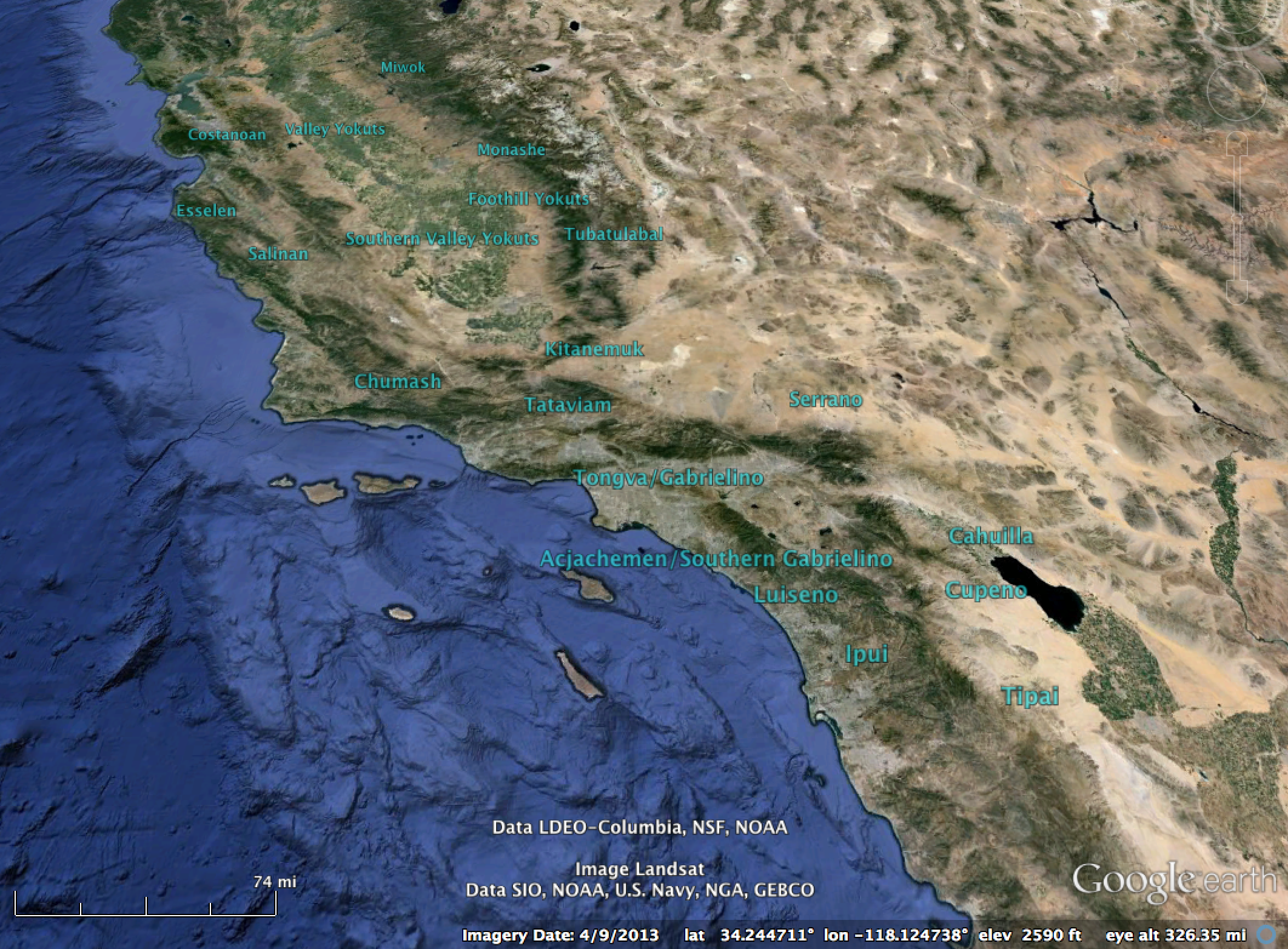
Boundaries of the Spanish and Mexican Land grants as entered into the State of California land survey. GIS Shape files of the boundaries of the California Ranchos provided by Tracey...
其他信息
| 域 | 价值 |
|---|---|
| Data last updated | 三月 22, 2016 |
| Metadata last updated | 未知 |
| 创建的 | 未知 |
| 格式 | SHP |
| 授权 | Creative Commons CCZero |
| Has views | True |
| Id | 09c679d3-6f8a-4d05-a5be-431008ebcaa3 |
| On same domain | True |
| Package id | 054d28f3-205c-4496-b36a-08322f44ab60 |
| Position | 1 |
| Revision id | c929bcb7-4e19-4d80-8e04-a6d155d0252d |
| State | active |
| Url type | upload |
| 创建的 | 11年前 |