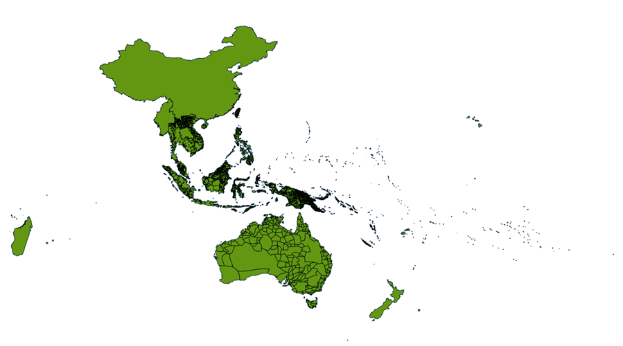
Pacific Language GIS Overview Image
From the dataset abstract
Registered scans of the maps from the Language Atlas of the Pacific Area (excluding the maps of Japan) are made available through the Electronic Cultural Atlas Initiative (ECAI) Metadata...
Source: Language Atlas of the Pacific Geo-Registered - GIS Dataset
Additional Information
| Field | Value |
|---|---|
| Data last updated | unknown |
| Metadata last updated | unknown |
| Created | unknown |
| Format | PNG |
| License | Creative Commons Attribution |
| Created | over 11 years ago |
| Has views | True |
| Id | e91438f6-ec71-4543-92c3-ce1fb3018872 |
| On same domain | True |
| Package id | 209cb079-2270-4016-bc8d-f6c7835779c5 |
| Position | 1 |
| Revision id | dd3c4145-d4d1-4077-854d-b17fa8de0f88 |
| State | active |
| Url type | upload |

