GIS ShapeFile of Spanish and Mexican Land ...
データセットの概要より
Boundaries of the Spanish and Mexican Land grants as entered into the State of California land survey. GIS Shape files of the boundaries of the California Ranchos provided by Tracey...
埋めこみ
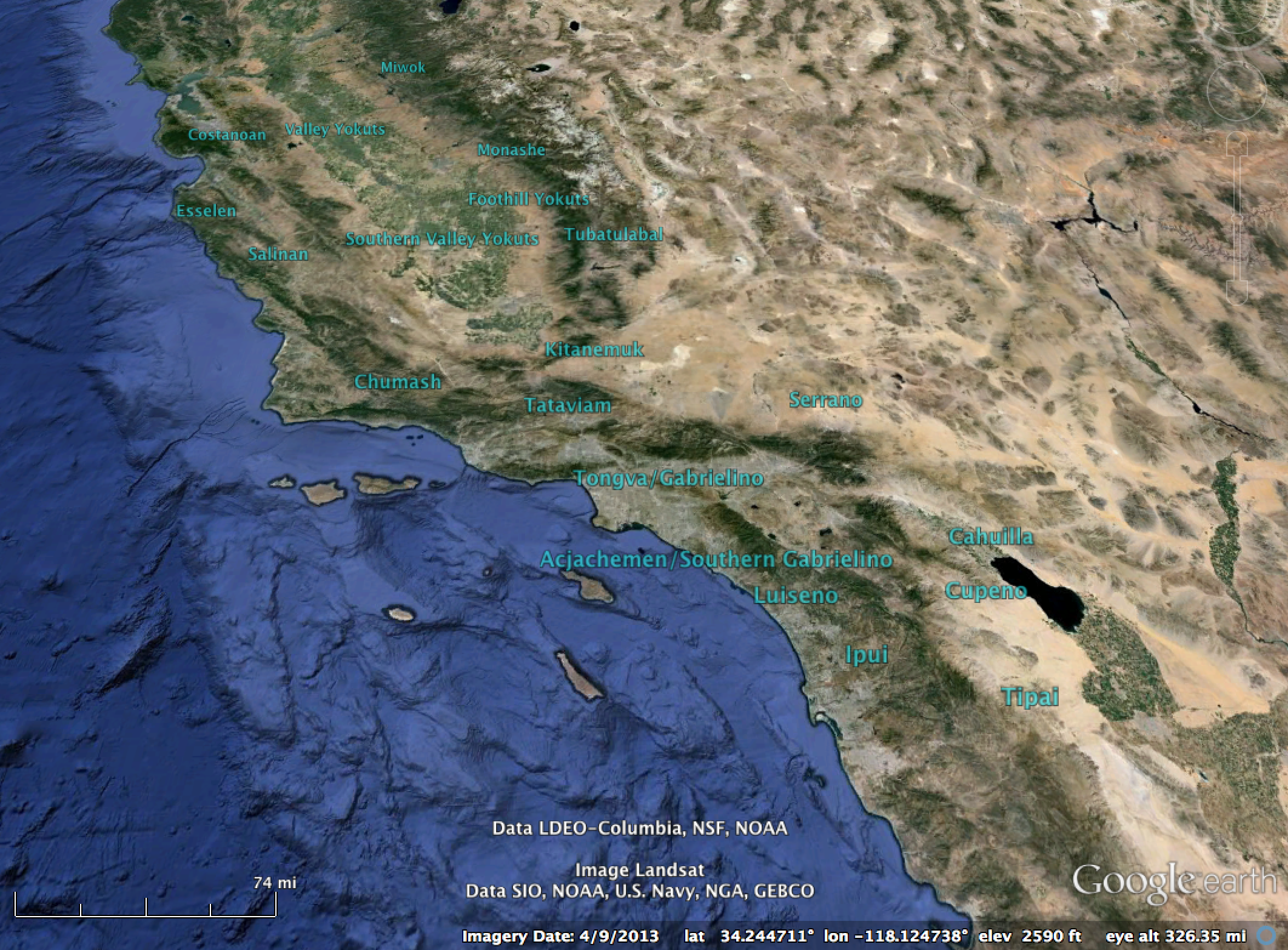
Screenshot of California Rancho Boundary dataset in Google Earth.
追加情報
| フィールド | 値 |
|---|---|
| 最終更新日 | 2016 / 3月 / 22, |
| メタデータ最終更新日時 | unknown |
| 作成日 | unknown |
| データ形式 | SHP |
| ライセンス | Creative Commons CCZero |
| Has views | True |
| Id | 09c679d3-6f8a-4d05-a5be-431008ebcaa3 |
| On same domain | True |
| Package id | 054d28f3-205c-4496-b36a-08322f44ab60 |
| Position | 1 |
| Revision id | c929bcb7-4e19-4d80-8e04-a6d155d0252d |
| State | active |
| Url type | upload |
| 作成日 | 10 年以上前 |

